3D Laser Scanning Surveys in London
We provide 3D laser scanning surveys across London, capturing buildings and sites as survey-grade point clouds for architects, engineers and contractors. On congested central sites with listed facades and almost no room to work, scanning records exactly what exists in a single visit, so your design and BIM teams build from measured reality rather than out-of-date drawings.
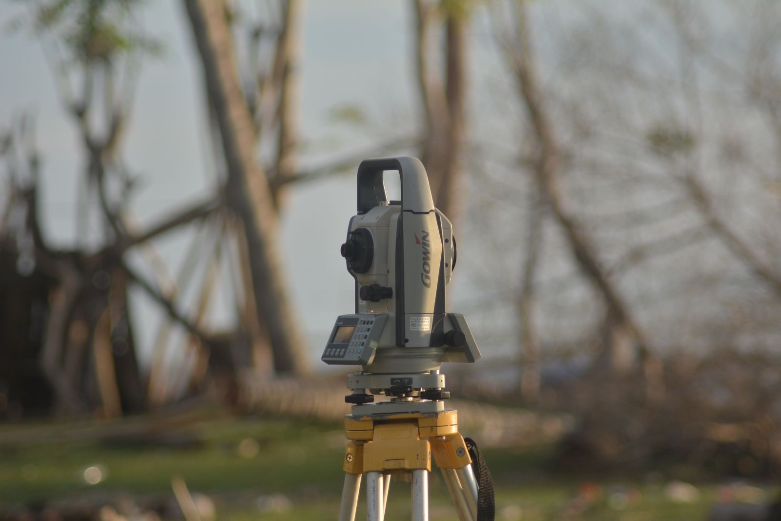
Scan Surveys carries out terrestrial 3D laser scanning across London and the wider UK. We set up survey-grade scanners on site, capture the space from enough positions to remove blind spots, then register those scans into a single coordinated point cloud you can measure from, section through and hand straight to your design or BIM team.
London is a refurbishment city rather than a clearance one, which means most projects begin with an existing building that rarely matches its drawings. A scan removes that uncertainty at the start, and because every deliverable is built from the same capture, you record the building once and produce whatever outputs the project needs from it.
3D laser scanning in London: what is different
Central London sites are dense and constrained. There is often no laydown space, limited time on site and continuous movement of people and traffic around the work. Scanning suits these conditions because it captures a huge amount of measured detail quickly from static set-ups, so we record the whole space in one visit rather than returning repeatedly with a tape.
Facade retention is a defining feature of London development, where a historic frontage is kept and a new structure built behind it. Laser scanning records the retained facade accurately so the temporary support and the new frame can be coordinated against its real geometry, and so movement can be checked against a measured baseline as the works progress.
London holds an enormous stock of listed and period buildings with complex, irregular geometry that hand measurement struggles to capture. Scanning is non-contact and complete, recording ornate and awkward detail without touching the fabric, which makes it well suited to heritage work and to the many refurbishments that sit within conservation areas.
- Dense, constrained central sites with limited laydown and time on site
- Facade retention schemes, capturing the retained frontage for coordination
- Listed and period buildings with complex or irregular geometry
- Refurbishment and fit-out where the existing drawings cannot be trusted
- Occupied buildings, scanned out of hours where access is limited
What we capture and deliver
Our scanners record geometry and, where useful, colour, producing a coloured point cloud that is far easier to read than raw intensity data. We deliver in the formats your software expects, including E57, the open industry standard, and RCP/RCS for Autodesk ReCap, Revit and AutoCAD, which cannot read E57 directly.
If you need drawings or an intelligent model rather than the raw cloud, the same capture feeds our measured building survey and scan to BIM services, so nothing has to be re-surveyed. That single-capture approach is particularly valuable in London, where getting back onto a constrained or occupied site a second time is rarely straightforward.
A survey you can plan around.
A clear, repeatable method on every job, so you know what is happening on site and what lands on your desk afterwards.
Scope
We agree what needs capturing, the accuracy and detail required and the formats your team works in, and plan access around a constrained or occupied London site.
Capture
We scan from enough positions to remove occlusion and shadowing, with control or targets where the project calls for it.
Process
We register the scans into one coordinated cloud, clean out passing people and traffic, and apply colour where captured.
Deliver
We index and export the cloud into your required formats, ready to measure from or model against, with drawings or a model to follow if needed.
Questions we are asked about working in London.
Do you scan outside London?
Yes. We carry out 3D laser scanning across London and throughout the UK. London is a core area, but the same team and equipment travel wherever a survey is needed, so tell us the site and we will confirm attendance.
Can you scan listed and period buildings?
Yes. Laser scanning is non-contact and captures complex, irregular geometry completely, which makes it well suited to London’s listed and period buildings and to work within conservation areas. It records ornate detail accurately without touching the fabric.
Can you scan a facade retention scheme?
Yes. We scan retained facades so the temporary works and the new structure can be coordinated against the frontage’s real geometry, and so the facade can be checked against a measured baseline as construction proceeds.
What point cloud formats do you deliver?
We deliver in E57, the open industry-standard format, and in RCP/RCS for Autodesk ReCap, Revit and AutoCAD, and can also provide LAS and LAZ. Because Revit and AutoCAD do not read E57 directly, we index and convert the cloud so it attaches straight into your project.
Where to go next.
3D laser scanning
The full service: survey-grade point clouds and reality capture for design, coordination and verification.
Read more LondonMeasured building surveys in London
Turn the same capture into scaled CAD floor plans, elevations and sections for your London refurb.
Read more GuideWhat is a point cloud?
What a point cloud is, how it is produced and how design and BIM software use it.
Read moreSend us the brief. We will scope it.
Tell us the site, the deadline and what you need to know. We will confirm the right survey or test, the standard it meets and exactly what you will receive.
- 1Send the brief or call.
- 2We confirm scope, method and price, free and with no obligation.
- 3Booked, surveyed, reported.