Scan to BIM Services Across the UK
Scan to BIM turns a laser scan of an existing building into an intelligent, as-built model your design team can work in, most often a Revit model built to an agreed level of development. It gives architects, engineers and BIM coordinators a trustworthy digital twin of what is really there, so new design and coordination happen against measured reality rather than assumptions.
What sets our service apart is simple: the same UK-based team scans the building and models it. There is no offshore handoff, no data thrown over a wall to a modelling shop that never saw the site and cannot answer a query about it. The people who understood the space on capture day are the people producing the model, which means fewer misinterpretations, faster answers to your questions, and a model that reflects what the surveyor actually saw.
We agree the level of development up front, model to it precisely, and hand over a file that opens cleanly in your environment and does the job it was scoped for.
- Method
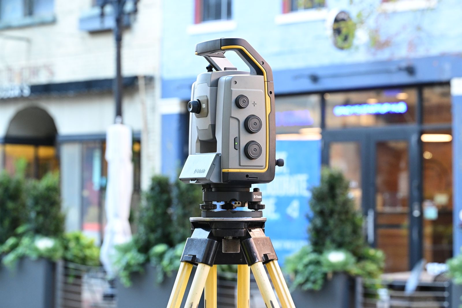
- Laser scan modelled in Revit by our UK team
- Levels of development
- LOD 200, 300 or 350, specified per element
- Deliverable formats
- Native Revit (RVT), IFC export on request
- Verification
- Underlying point cloud in E57 or RCP/RCS
- Modelling
- UK team, no offshore handoff
- Coverage
- UK-wide
What we capture and deliver
We start with a survey-grade point cloud, then model the building elements in Revit to the level of development your project needs. Level of Development, or LOD, defines how much geometric detail and reliable information each element carries. It is specified per element, not per model, so a single deliverable can carry structure at one level and services at another, which is standard practice and usually the most cost-effective approach.
The levels we most commonly deliver:
- LOD 200 - generic geometry: elements are modelled at the correct location with approximate size and generic types. Suited to space planning, feasibility and early design.
- LOD 300 - specific geometry: elements carry accurate, measured dimensions and defined types at their precise as-built position. The standard for design development and reliable coordination.
- LOD 350 - coordination-grade: LOD 300 plus the connections, supports, clearances and interface details needed for clash detection between systems.
We deliver native Revit (RVT) models, with IFC export where your workflow needs it, and can provide the underlying point cloud in E57 or RCP/RCS alongside so the model can always be checked against the capture.
When you need it
Scan to BIM is the right route whenever you need an intelligent model of an existing building, not just drawings:
- BIM coordination, giving every discipline a shared, measured as-built base
- Renovation and retrofit design, where new work must fit existing fabric exactly
- Clash detection, checking proposed services against real existing conditions
- MEP coordination in occupied or constrained buildings
- Asset and facilities models for long-term management
If your project mandates BIM deliverables or you are coordinating multiple disciplines, a scan-based model removes the existing-conditions risk before it reaches site.
Deliverables
- Native Revit (RVT) as-built model to the agreed LOD
- Mixed-LOD modelling by element where that suits the project
- IFC export on request
- Underlying point cloud in E57 or RCP/RCS for verification
- Model produced entirely by our UK team, with no offshore handoff
What affects the price
Every job is priced to its scope. The main things that move the cost are:
- The size of the building and the elements in and out of modelling scope
- The target level of development, and whether it varies by discipline
- The Revit template and modelling standards to be followed
- Whether IFC export and the underlying point cloud are required
- Site access and capture requirements for higher-detail modelling
Send us the brief or call and we will confirm a fixed price for the work, free and with no obligation.
A survey you can plan around.
A clear, repeatable method on every job, so you know what is happening on site and what lands on your desk afterwards.
Scope
We agree the target LOD per discipline, the elements in and out of scope, and the Revit template and standards, so expectations are aligned before any modelling begins. Misaligned LOD expectations are the most common cause of scan to BIM disputes, so we fix them at the start.
Capture
Our team scans the building to a density and coverage designed for the target LOD, capturing supplementary photographs where higher-detail modelling will need them.
Model
The same team models the point cloud in Revit to the agreed level of development, verifying dimensions against the cloud element by element.
Deliver
We issue the native Revit model, IFC if required, and the point cloud, with a short handover so you know exactly what has and has not been modelled.
Questions we are asked about this service.
What is scan to BIM?
Scan to BIM is the process of converting a 3D laser scan of an existing building into a BIM model, typically in Revit. The point cloud provides measured existing conditions, and those are modelled into intelligent building elements to an agreed level of development, giving an accurate as-built model to design and coordinate from.
What LOD do I need for scan to BIM?
It depends on how the model will be used. LOD 200 suits space planning and feasibility. LOD 300 is the usual choice for design development and reliable coordination, with accurate dimensions and defined element types. LOD 350 adds the connection, support and clearance detail needed for full clash detection. Many projects mix levels by discipline, and we advise on the most cost-effective specification for your intended use.
What is the difference between LOD 200 and LOD 300?
At LOD 200, elements are generic, at the correct location with approximate size and type. At LOD 300, elements carry accurate, measured dimensions and specific types at their precise as-built position, so the model can be relied on for detailed design and coordination. LOD 300 takes more modelling effort, which is why matching the level to your actual need matters.
Do you model in Revit?
Yes. We deliver native Revit (RVT) models built to your template and standards, with IFC export available where your workflow requires an open format.
Is your modelling done offshore?
No. The same UK-based team that scans the building produces the model. There is no offshore handoff, so the people modelling the space are the people who surveyed it, which reduces misinterpretation and means queries are answered by someone who was on site.
Can the model be checked against the scan?
Yes. We provide the underlying point cloud in E57 or RCP/RCS alongside the model, so you can overlay and verify the modelled geometry against the measured capture at any point.
One team, from point cloud to pull test.
3D laser scanning
Capture the whole structure to the millimetre and hand your designers a model they can build from.
See the service CADMeasured building surveys
Accurate as-built floor plans, elevations and sections in CAD, drawn from a measured survey.
See the service PAS 128Utility surveys
Know what runs beneath the ground before you break it, detected and mapped to PAS 128 quality levels.
See the serviceSend us the brief. We will scope it.
Tell us the site, the deadline and what you need to know. We will confirm the right survey or test, the standard it meets and exactly what you will receive.
- 1Send the brief or call.
- 2We confirm scope, method and price, free and with no obligation.
- 3Booked, surveyed, reported.