Topographical Surveys in London
We produce topographical surveys across London, mapping a site’s levels, features and boundaries to survey-grade accuracy for planning, design and setting out. On tight urban plots hemmed in by neighbours and party walls, an accurate topo is the base drawing a London scheme is designed and consented on, and getting the levels or the boundary wrong carries straight through to a planning refusal or a drainage problem on site.
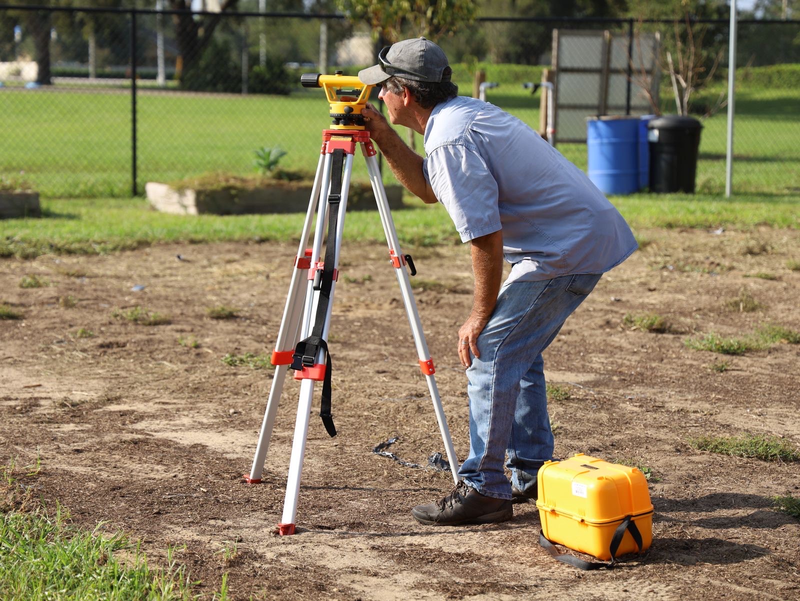
Scan Surveys produces topographical surveys, also known as topo or land surveys, across London and the UK. We capture the site to survey-grade accuracy and deliver a clean, layered CAD drawing showing exactly what is there and how the ground sits, with levels tied to a defined datum so the survey is a true three-dimensional record, not just a plan of features.
Whether the drawing is destined for a planning application to a London borough, a detailed design or setting out on site, the output is built to drop straight into your CAD environment and be relied on.
Topographical surveys in London: what is different
London plots are typically small, constrained and hard against their neighbours. Boundaries, party walls and rights of light matter intensely, so the survey has to record the extent and the physically evidenced boundary features carefully, because so much of the design and the neighbourly negotiation depends on exactly where the line sits and how the site relates to the buildings around it.
Most London schemes need an accurate existing-site drawing for a planning submission to the borough. A topographical survey provides precisely that: levels, boundaries and features tied to a datum, giving the planning authority and your design team a dependable, measured record of the site as it stands rather than an approximation.
Between tall buildings, satellite positioning becomes less reliable. In these urban canyons the signals a GNSS receiver depends on are blocked by the surrounding structures or reflected off them, which degrades accuracy, a well-documented limitation of satellite positioning in dense city centres. We manage this by establishing control and running total-station traverses tied to Ordnance Survey where required, rather than relying on GNSS alone, so the survey holds its accuracy even in the densest parts of the city.
- Small, constrained plots hard against neighbouring buildings and party walls
- Careful recording of extent and physically evidenced boundary features
- Existing-site drawings for planning submissions to London boroughs
- Robust control where GNSS is unreliable between tall buildings
- Levels tied to an Ordnance Survey datum for coordination with other surveys
What we deliver
We record the full surface detail your project requires: levels and contours, hard and soft features, physically evidenced boundaries, and surface drainage and utility features such as manholes and gullies with invert levels where accessible. The survey is tied to a horizontal and vertical datum, referenced to Ordnance Survey where needed so it coordinates with the wider mapping and with other surveys of the same site.
Deliverables are provided as layered CAD (DWG/DXF) in 2D and 3D as required, and where the site has been captured by laser scanning we can supply the underlying point cloud alongside. Because the survey is tied to established control, we can use the same control to set the design out accurately on the ground later.
A survey you can plan around.
A clear, repeatable method on every job, so you know what is happening on site and what lands on your desk afterwards.
Scope
We agree the London site extent, the level of detail, the datum and the CAD standard, so the survey is specified around your design and planning needs.
Capture
We survey the site with appropriate survey-grade instruments, establishing robust control where GNSS is unreliable between tall buildings.
Process
We reduce the survey data and draw the topographical model, including levels, contours and features, to the agreed specification.
Deliver
We issue a layered CAD drawing in 2D and 3D, with the point cloud alongside where the site was laser scanned.
Questions we are asked about working in London.
Do you carry out topographical surveys outside London?
Yes. We produce topographical surveys across London and throughout the UK. London is a core area, but we travel wherever a survey is needed, so tell us the site and we will confirm attendance.
Do I need a topographical survey for a London planning application?
Most London planning applications benefit from, and many require, an accurate existing-site drawing showing levels, boundaries and features. A topographical survey provides exactly that, giving the borough and your design team a dependable measured record of the site as it exists.
How do you handle boundaries on a tight London plot?
We record the physically evidenced boundary features on the ground, such as walls, fences and kerbs, alongside any title information you supply. On constrained London plots where the boundary and party walls are sensitive, that measured record of what is physically there is an important base for design and for neighbourly matters.
Is GNSS accurate enough between tall London buildings?
Not always on its own. Between tall buildings, GNSS signals can be blocked or reflected, which reduces positioning accuracy, a recognised limitation in dense city centres. We manage it by establishing control and running total-station traverses tied to Ordnance Survey where required, so the survey stays accurate in built-up areas.
Where to go next.
Topographical surveys
The full service: measured land surveys with levels, contours, features and boundaries in CAD.
Read more LondonUtility surveys in London
Add the buried services beneath the site, detected and mapped to PAS 128, tied to the same survey.
Read more GuideTopographical vs measured building survey
How a land survey and a building survey differ, and when a project needs both.
Read moreSend us the brief. We will scope it.
Tell us the site, the deadline and what you need to know. We will confirm the right survey or test, the standard it meets and exactly what you will receive.
- 1Send the brief or call.
- 2We confirm scope, method and price, free and with no obligation.
- 3Booked, surveyed, reported.